Archaeological Records of
Europe - Networked
Access

|
Archaeological Records of |
| ||
The Museum Project |
|
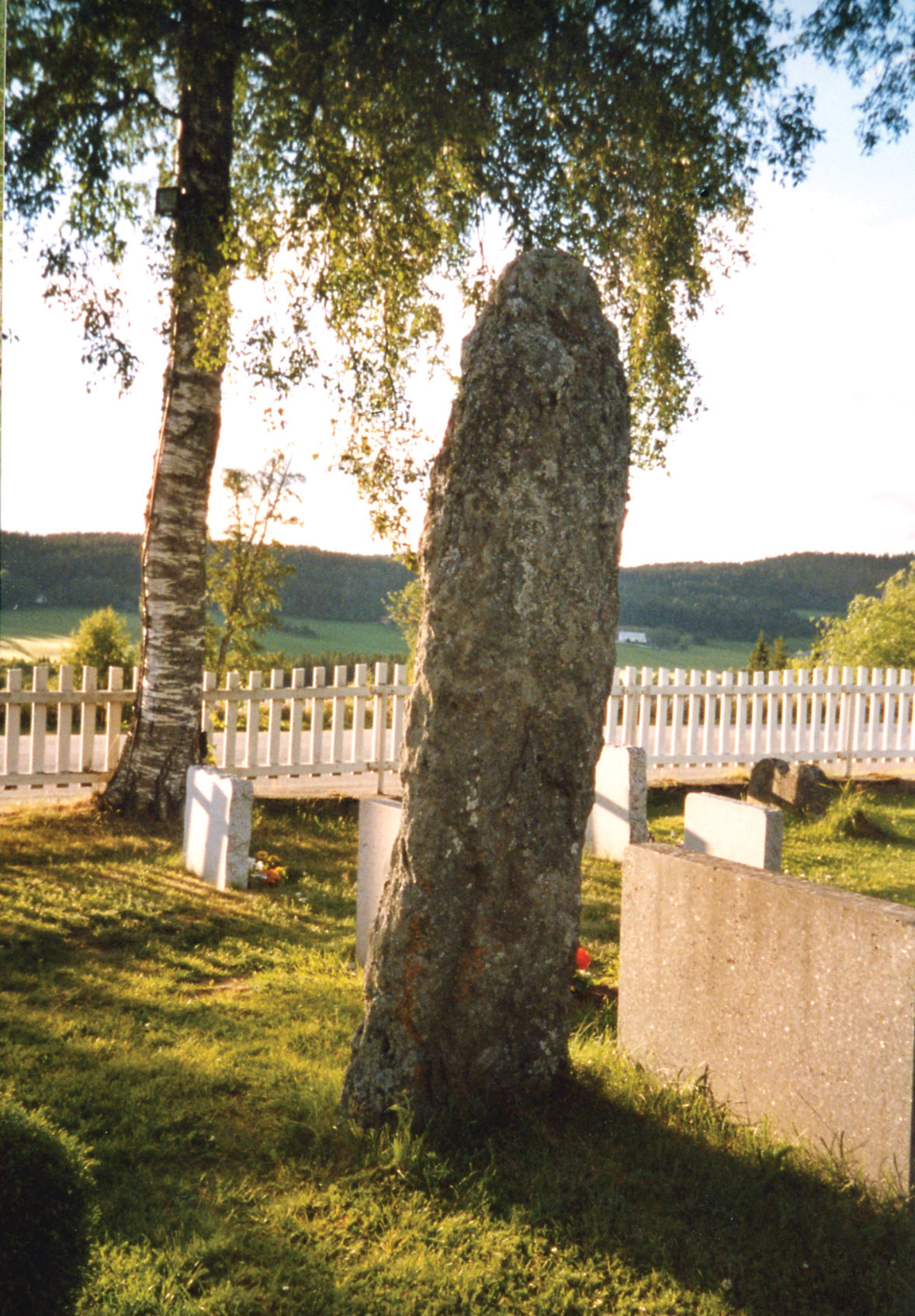
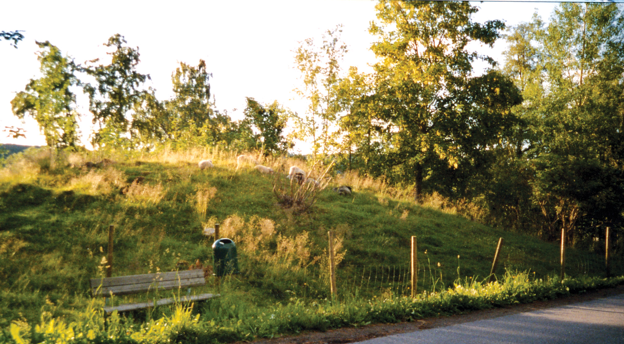
On a massive moraine at the inner end of Trondheim fjord in Central Norway we find the two farms Egge and Hegge. They are situated on a ridge that gives them optimal possibility for control of both the surrounding land and sea areas. There have been settlements on the fields of these two farms for the past 3-4000 years. In fact, the first Stone Age settlement discovered in Norway was found here. Egge and Hegge are, however, best known for their substantial burial grounds from the Iron and Viking Ages, which unfortunately are dramatically reduced today. Fortunately, Egge has always attracted attention since the farm is mentioned in the sagas and, consequently, documentary work such as survey and excavation was initiated as early as 200 years ago and resumed several times throughout the years. Initially the area included some 75 burial sites, of which only about 30 are preserved today. The sites on the top of the ridge form groups of two concentrations of mounds from the late Iron and Viking Ages and one of stone covered burial circles from the early Iron Age. One last group of sites from the late Iron and Viking Ages, which is represented by mounds and various stone formations, is located partly on top of the ridge and partly on the field below near the shoreline of the time. From being a major farm already in the very late Iron Age, Egge represents one of the most prominent chieftain farms of the Viking Age in Central Norway. Egge is mentioned in the sagas more frequently than most recognizable farms in the tales of the Viking Age. |
 |
Registered examinationsImportant events
|
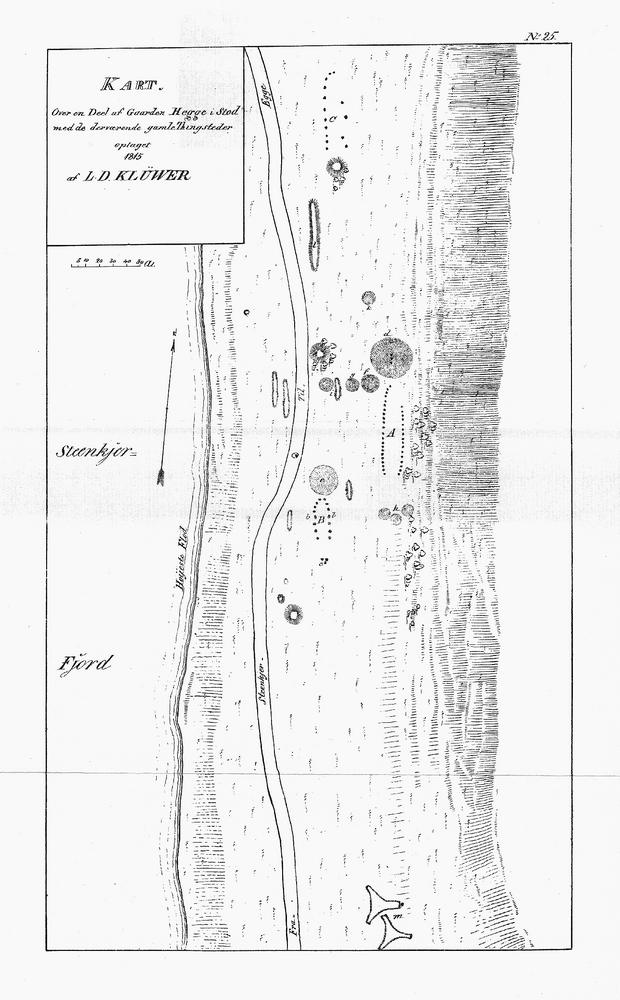
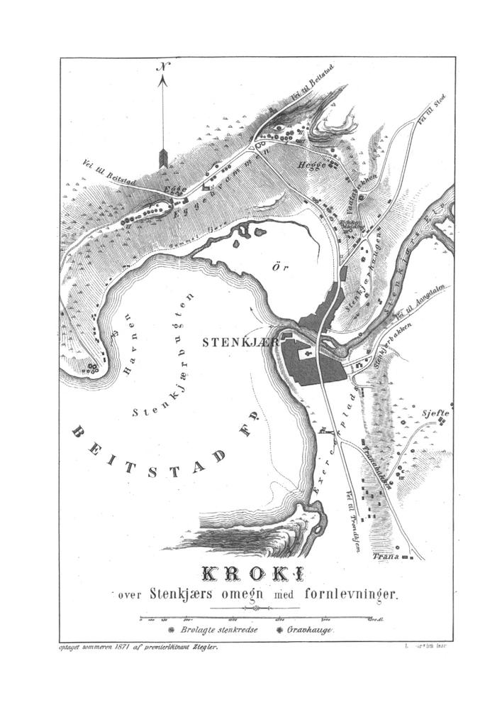
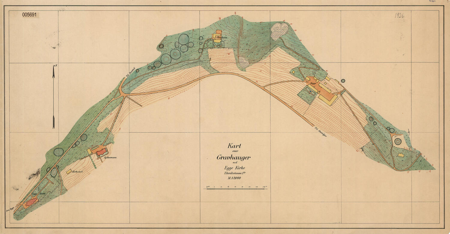
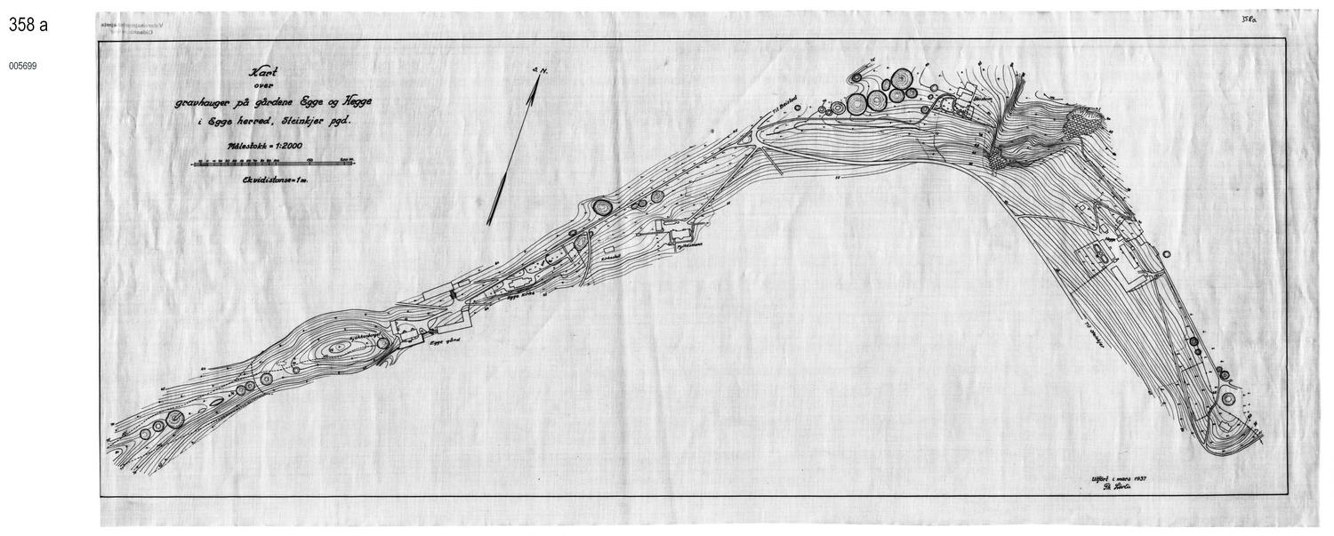
Maps |
The content of this project does not necessarily reflect the position of the European Community, nor does it involve any responsibility on the part of the European Community.